The Power of Maps -- Science, History, and Discovery
The Academy for Lifelong Learning -- Spring 2015
Introducing Your Course Leader:
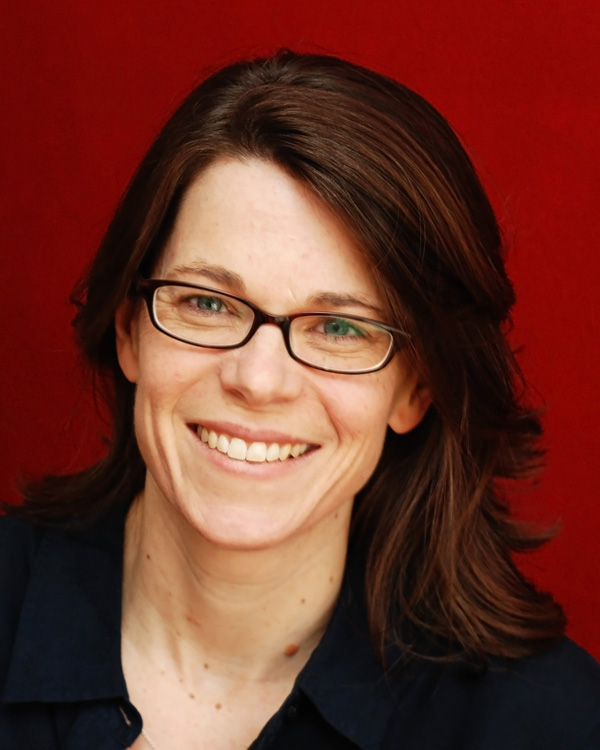
Lorraine Sherry [biography]
Lorraine's Cell phone: 303-807-0609
E-mail:
lorraine.sherry@comcast.net
Course Description:
Can't read a map? Can't fold a road map? It doesn't matter! This is a course that's mostly focused on history and science, exploration and discovery, connections and conquests. We'll find out how maps shaped important historical events from the time that sailors realized that the earth was not flat until the NASA folks started mapping the moon and planets. We'll also learn a bit about how mapping has changed from the time when early seafarers first explored the Mediterranean until the present day, when all you have to do is turn on your GPS in your car to find your way around. We'll have a group of excellent speakers and map enthusiasts, some of whom have presented internationally, sharing their passions and personal collections of extremely rare original maps; who are fascinated by the scientific instruments used in navigation and exploration; or who are actively working in fields such as satellite imaging today. Would you like to examine 18th Century maps depicting George Washington’s great victories and his humiliating defeats? Or touch a rare map with images of fantastic sea creatures, mermaids, and battles at sea? Or learn how early sailors used compasses, sextants, and astrolabes to find their way to their ports of call? Then this course is for you!
Course Format:
Enjoy lectures and presentations by members of the Rocky Mountain Map Society with lots of Q/A. This is course is NOT focused on being a discussion group. We're here to meet some real experts and enthusiasts, and to see some extremely rare original maps and artifacts.
Logistics:
The class will meet on six Thursday afternoons (February 26 through April 2) from 1:00 to 3:00 PM. The classroom will be assigned after Academy registration has begun.
Learning Objectives:
Gain an appreciation of antiquarian maps; learn how maps have influenced history and politics; find out how scientific progress changed the process of mapping through the ages, and understand the fascination of antique maps and other items of cartographic interest.
Class Website:
You should have access to a computer to view the Class Schedule and Guest Presenter Information on the class website.
The link (below) will take you to the class website.
http://home.comcast.net/~lorraine.sherry/cartography2/index.html
Class Schedule: 1:00 - 3:00 PM Thursdays
|
Week 1 -- Feb. 26
David Cole
Meandering Maps, Memories, and Myths
|
Week 2 -- Mar. 5
Wesley A. Brown
1500: The Year of Eight Distinct World Views
|
Week 3 -- Mar. 12
Ronald Gibbs
On the Brink of Disaster: George Washington and the American Revolution, 1775-1776
|
Week 4 -- Mar. 19
Tom Gallegos
Sea Charts and Navigational Instruments in the Age of Sail
|
Week 5 -- Mar. 26
Susan Schulten
Mapping the Nation
|
Week 6 -- Apr. 2
Angel Abbud-Madrid
The Future of Maps: Where Do We Go from Here?
|
|
|
Guest Presenter Information
|
|
Our Guest Presenters
Photos and
Biographical Sketches
|
Presenter Affiliations,
Map-Related Events,
and Synopsis of Presentation
|
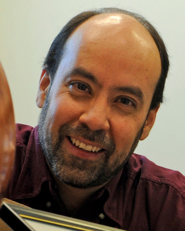
David Cole [right]
Past President, Rocky Mountain Map Society
Retired [HP - Europe]
Biography
|
Meandering Maps, Memories, and Myths
Dave Cole's presentations fall into two parts, using antique maps to "meander" the world through 400 years of history. The maps and their stories allow you to participate in learning about history, art, and cartography, He makes extensive use of antique maps, art, currency, and historical quotations to enrich your experience.
Part I is an introduction to antique maps covering the Prime Meridian, types of printing methods employed, primary languages (Old English, Latin, Italian, French, Dutch, and German), and artistic embellishments (sea monsters, compass roses, cartouches, vignettes, ornate scripts, etc).
Part II is a "meandering" of the world permitting the antique maps, by their content, to trigger historical stories. Some of the topics that Dave will cover include celebrated myths (California as an Island, Sea Monsters), historical footprints of man (Pyramids, Canals, Mines, the Tower of Babel, Great Wall of China), historical footprints of God (Biblical references), and maps of the Period of Discovery.
|

Wesley A. Brown
Founder, Rocky Mountain Map Society
Co-Founder, St. Charles Capital
Biography
|
1500: The Year of Eight Distinct World Views
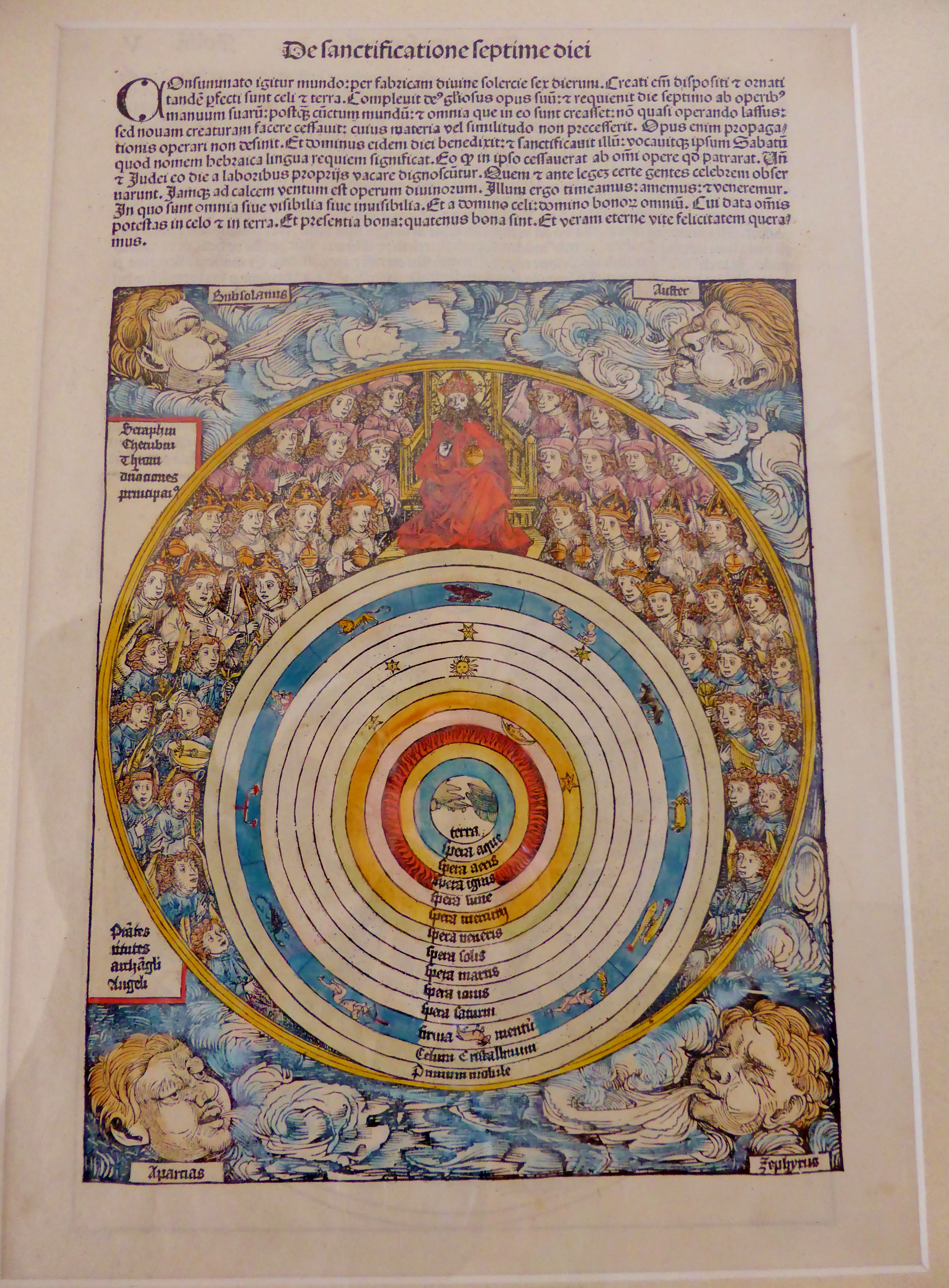
Remarkably, there was one time in history, around 1500 AD, when eight very different types of maps were being produced. They are 1) Greek and Roman maps, 2) maps of Claudius Ptolemy, 3) classical Islamic Maps, 4) Biblically based European maps, 5) portolan charts, 6) maps of European Renaissance, 7) Chinese maps 8) Asian Indian maps. The presenter will explain each of these forms of maps, their time of use, and show illustrations of original examples from his collection.
Wesley Brown has been a collector, student, and author of old maps for thirty years. A Denver resident, he co-founded the Rocky Mountain Map Society in 1990, and has served the Library of Congress and the Denver Public Library.
|
Ronald S. Gibbs, MD
Director, Rocky Mountain Map Society
Professor of Obstetrics and Gynecology
Associate Dean
Continuing Medical Education
and Professional Development
University of Colorado
School of Medicine
Biography
|
On the Brink of Disaster: George Washington and
the American Revolution
During five critical months in late 1776 and very early 1777, the entire future of our country hung by a mere thread as George Washington and his Continental Army battled to preserve the American Revolution against the seemingly invincible British Redcoats and their Hessian mercenaries. You know the ultimate outcome—we won! But this lecture, featuring maps from Dr. Gibbs’ personal collection as well as great historic paintings, will bring the personalities and events of these critical times to life. Come hear about what really happened at Bunker Hill, the Battle of New York, and Washington’s Crossing of the Delaware.
Dr. Gibbs recently gave this presentation to his colleagues - George Washington Presentation.
|
Tom Gallegos
Map Enthusiast and Member,
Rocky Mountain Map Society
Biography
|
Sea Charts and Navigational Instruments in the Age of Sail
On the trackless ocean, centuries before the invention of GPS, exploration during the Great Age of Sail (roughly 1400 – 1850) was a constant cycle of starting out with faulty charts, getting lost at sea, using your instruments to find your position, and surviving the voyage so you could carry this new information back to cartographers, who could then turn around and improve those charts. Future voyages were made possible by the improved charts, which allowed mariners to sail a little farther, pushing the envelope until they got lost again, then using their instruments to bail themselves out yet again. Along the way, you would constantly refer to the charts, and look to the heavens to verify your understanding of where you were on the charts. We often picture them, sextant in hand, gazing back and forth between the skies and the chart table, scribbling mathematical calculations and corrections the entire way. It only makes sense then, for a collector of sea charts to also collect instruments. The two go hand-in-hand. How did those early navigators manage it? Early charts and instruments will be on display.
|
Susan Schulten, Ph.D.
Susan Schulten
Professor and Chair
Department of History
University of Denver
Biography
|
Mapping the Nation
We live in a culture saturated with maps, which can be made instantly to represent virtually any type of data. Technology makes this possible, but our contemporary use of maps is rooted in a fundamental shift that took place well over a century ago. In the nineteenth century, Americans began to use maps in radically new ways. For the first time, medical men mapped diseases to understand and prevent epidemics, natural scientists mapped climate and rainfall to uncover weather patterns, educators mapped the past to foster national loyalty among students, and Northerners mapped slavery to assess the power of the South. After the Civil War, federal agencies embraced statistical and thematic mapping in order to profile the ethnic, racial, economic, moral, and physical attributes of a reunified nation. By the end of the century, Congress had authorized a national archive of maps, an explicit recognition that old maps were not relics to be discarded but unique records of the nation’s past. All of these cartographic experiments involved the realization that maps were not just illustrations of data, but visual tools that were uniquely equipped to convey complex ideas and information. I this session we will chart how maps of epidemic disease, slavery, census statistics, the environment, and the past demonstrated the analytical potential of cartography, and in the process transformed the very meaning of a map.
Some of Dr. Schulten's publications are available at these Web sites:
|
Angel Abbud-Madrid, Ph.D.
President, Rocky Mountain Map Society
Director, Center for Space Resources
Colorado School of Mines
Biography
|
Modern Mapping
With the advent of the space age in the 1960s and the ensuing ubiquitous role of satellite imaging, the way humans create, distribute, and use maps has changed in a fundamental way. Dr. Abbud-Madrid will explain the basics of modern digital mapping, the way in which this technology has revolutionized how we perceive our world, and how maps, just as they were back in the 1500s, have become again one of the most powerful tools in our 21st century society.
We will also have a guest speaker from 1:00 to 1:30 PM -- Dr. Kumar Navulur, Director of Product Development and Laboratories at Digital Globe. Digital Globe, based in Longmont Colorado, builds the high-resolution satellites used by various mapping services including Google and Microsoft. They successfully launched their newest satellite, WorldView-3, in August 2014.
|
Recommended Readings and Interesting Websites
- Wilford, J.N. (2000). The Mapmakers [Revised Edition]. NY: Alfred A. Knopf.
This is one of my favorite map-related books.
- The Allure of the Map
A delightful essay from the New Yorker to provoke your imagination.
- Americans and Brits label maps of Europe and USA
What our students know (and don't know) about world geography - and should know!
- 40 Maps That Will Help You Make Sense of the World
Hopefully some of these maps will surprise you and you’ll learn something new. A few are important to know, some interpret and display data in a beautiful or creative way, and a few may even make you laugh out loud.
- Digital Globe's Gallery of Satellite Maps
Awesome satellite imagery of natural and man-made disasters, in extreme high-definition photos.
-
Fun and Beautiful Maps of the World Made from Signature Regional Foods
A series of food-based country maps composed of signature national ingredients.
- World War II Led to a Revolution in Cartography. These Amazing Maps Are Its Legacy.
An article in The New Republic about re-inventing mapmaking during WWII by Dr. Susan Schulten, Professor and Chair of the Department of History at the University of Denver.
- Map of the Roman Empire
This is a terrific resource - an interactive map of the Roman Empire. It's perfect for anyone who is taking the Roman Empire course and wants to know where these ancient cities (with Roman names) are located. Just type in the name of the place (like Veii or Lavinium) and the software finds it for you!
- The Pig War
If it weren't so funny, I wouldn't have included it - but this article illustrates how important good maps are in order to define the boundaries between two warring countries - in this case, the pre-Civil War USA and The British Empire (and Canada). All ado about a pig! Yes, it really happened...
About the Rocky Mountain Map Society (RMMS)
The Rocky Mountain Map Society
is a non-profit organization dedicated to the study and appreciation of maps, cartographic history, the history of exploration and discovery, maps as art, collecting antique maps, and other areas of cartographic interest. Public outreach by the Society to provide education in maps and history is performed by providing speakers, exhibits, and instruction to its members as well as to public schools, adult education programs, museums, and other outside forums. It has also co-sponsored with the Denver Public Library several Antique Map Fairs with lectures and dealer displays from around the world. The Society is a founding member of the Council of North American Map Societies and works closely with the Geography and Map Division of the Library of Congress. Recognized internationally, the Society hosted the 2001 Annual Meeting of the Society for the History of Discoveries, the 2005 Conference of the International Map Collectors Society, and in 2012, an international conference titled "The Mapping of North America: The Westward Expansion" with the Texas Map Society and the University of Denver. The Society was formed in 1991 and is headquartered in Denver, Colorado. More information can be found on the Society's website,
www.RMmaps.org
Dr. Lorraine Sherry
Course Leader: The Academy for Lifelong Learning
The Power of Maps: Spring Term 2015
Website updated January 30, 2015
E-mail Lorraine Sherry
|